Work
Three public interfaces. Same idea: structured data about a place, with a map as one way in.
A public view of programmed transportation investments — location, category, funding, and cost in one place.
See where fatal, serious, and pedestrian crashes concentrate — so safety conversations start from a shared picture of place.
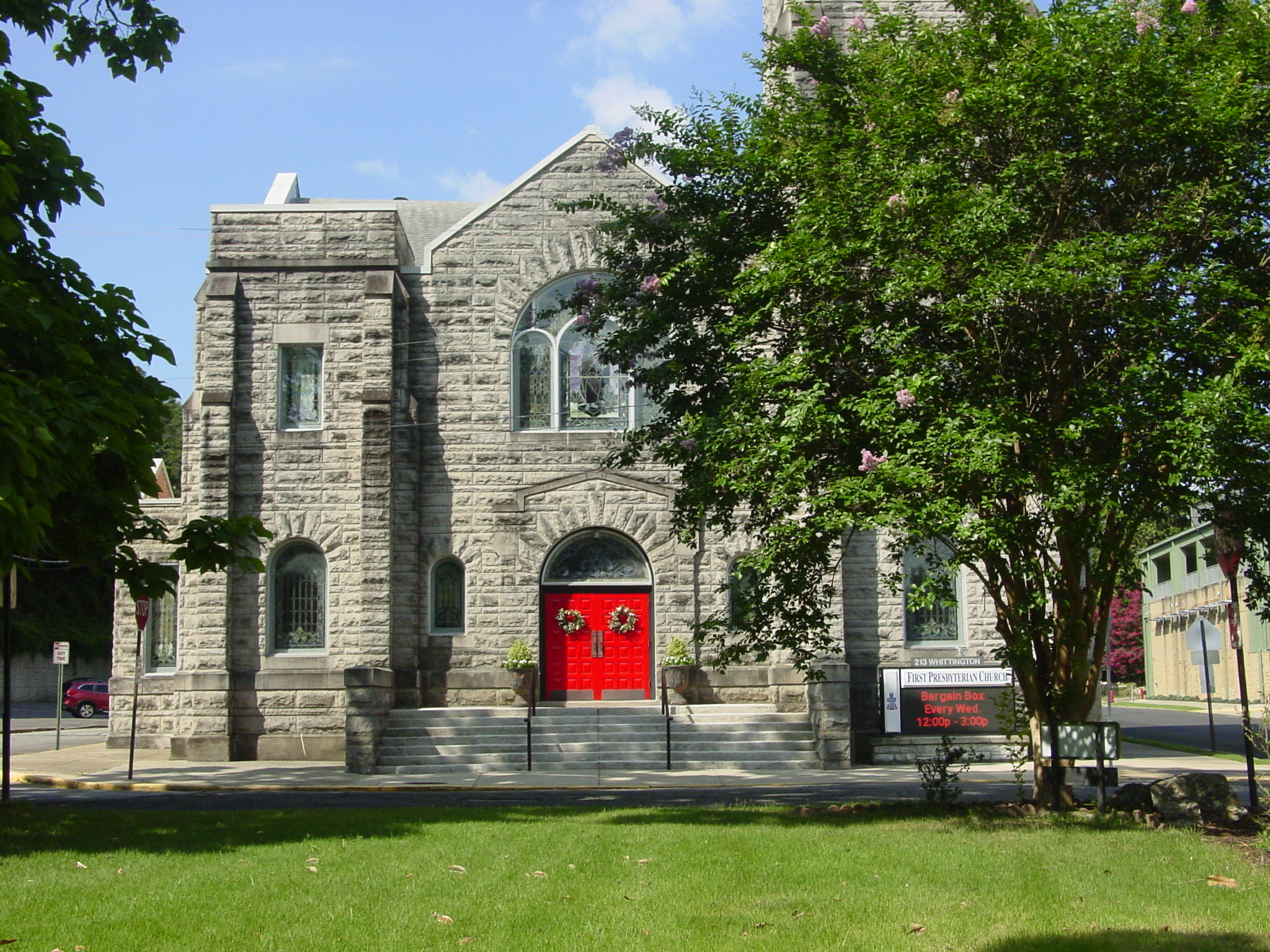
Helping a documentary team see the faith landscape of a city — not as a list of addresses, but as a living inventory of place.