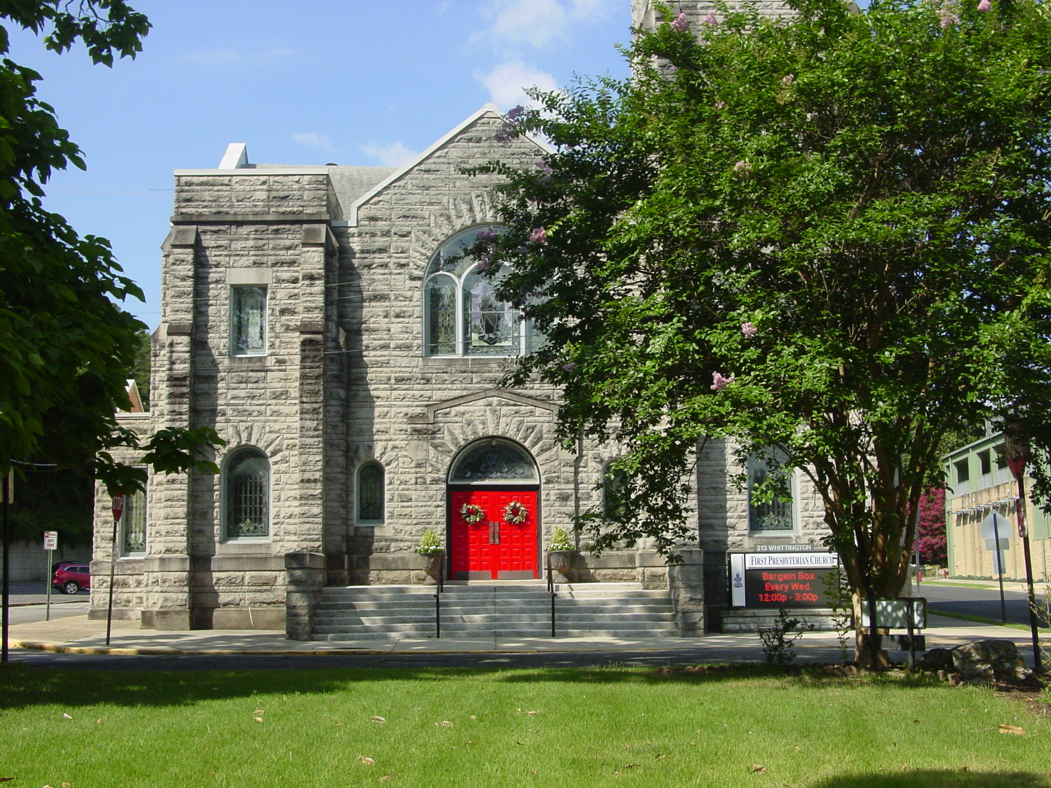
Church Atlas
Explore the faith landscape of Hot Springs — congregations across the city, held in one interactive story of place.
We help people understand places.
A visual communication studio for organizations that need to tell the story of a place — clearly, calmly, and with care.
Work
The projects are the proof. Each one began with a communication problem — and ended with people seeing a place more clearly.
Atlas
Interactive stories of place — the living counterpart to the projects and field notes.
Explore the faith landscape of Hot Springs — congregations across the city, held in one interactive story of place.
See where fatal, serious, and pedestrian crashes concentrate — so safety conversations can start from a shared picture of place.
Explore Marion County’s programmed transportation investments — roadway, safety, bike and ped, aviation, and interchange projects in context.
Why we exist
Organizations come to Parker & Vale when something important is difficult to see: a downtown in transition, a public investment, a congregation’s landscape, a destination’s identity, a project that exists in meetings but not yet in the public imagination.
We exist to help people understand — building trust through clarity, story, and careful looking.
What we believe
Places deserve to be understood.
Good information builds trust.
Stories help communities see themselves.
Clarity should feel calm, not complicated.
Every project deserves thoughtful craftsmanship.
Three ways in
Work tells the story. Field Reports explain the thinking. Atlas lets people explore.
Case studies that explain the question, the challenge, and why clarity mattered.
Studio observations from the work — process, craft, and lessons worth keeping.
Interactive experiences that invite curiosity — maps, stories, and living pictures of place.
Begin
Communities, nonprofits, engineering firms, local governments, tourism organizations, schools, churches, and businesses — if clarity is the need, we should talk.