MPO Atlas
Building a practical spatial foundation so planners, officials, and residents shared the same picture of the region.
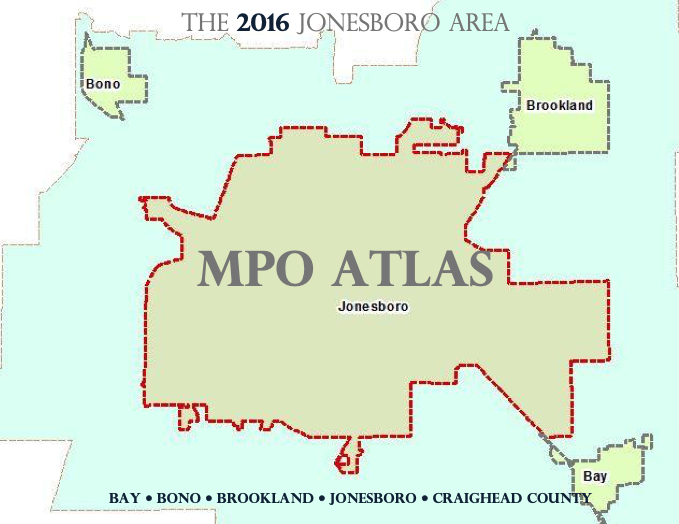
Building a practical spatial foundation so planners, officials, and residents shared the same picture of the region.
A growing metropolitan planning area needed a clear spatial reference: roadway networks, boundaries, land use context, and transportation maps that staff and partners could use without rebuilding the base every time.
The 2016 MPO Atlas gathered the region’s core geographic layers into a single reference product. The emphasis was practical GIS — maps that explained place and supported planning conversations, not decorative graphics.
A shared atlas that gave planners, officials, and residents a clearer common picture of networks, boundaries, and land use context across the MPO area.
Foundational mapping pays off for years. When the base layers are trustworthy, every later dashboard, engagement map, and plan figure starts ahead.