Problem
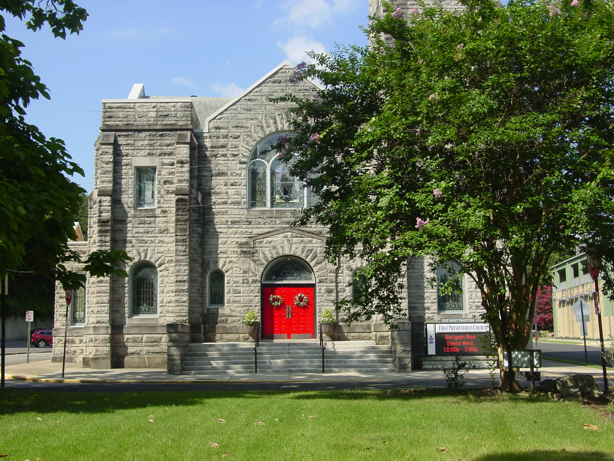
A documentary project needed more than a list of addresses. Fieldwork required a living spatial inventory of churches inside Hot Springs city limits — searchable, filterable by denomination, and able to track which locations had been photographed or filmed.
Approach
We built a civic GIS product: roughly one hundred congregations mapped from OpenStreetMap and local assessor cross-reference, with denomination filters, per-capita context, and a shot-status tracker for exterior photo and video documentation. The map became both research tool and production log — the same place to find a church and know whether it had already been covered.
Technology
- Leaflet + marker clustering for interactive web mapping
- OpenStreetMap features cross-checked with Garland County assessor data
- Denomination filters, search, and per-capita statistics
- Fieldwork tracker for pending / filmed / skipped shot status
Outcome
A live map of Hot Springs churches that supported weeks of documentary fieldwork and remains a public civic data demo. The film Where Are the Christians? is scheduled to premiere at the Hot Springs Documentary Film Festival in October 2026.
Lessons Learned
Spatial products earn their keep when they serve a real workflow. For this project, the map was not decoration — it was how locations were found, prioritized, and marked complete. The same pattern applies to planning and GIS work: when the tool tracks the work, the inventory stays honest.