Regional Atlas
Giving a growing region one shared picture of itself — so planners, officials, and residents could see the same place.
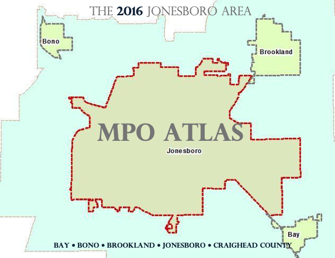
The question
How do you help a growing metropolitan area see itself clearly — networks, boundaries, land use, and all?
The challenge
Staff and partners needed a trustworthy spatial reference they could return to without rebuilding the base every time. Without a shared picture of place, every later conversation started from scratch.
The approach
Core geographic layers were gathered into a single reference product. The emphasis stayed practical: explain the place, support planning conversations, and leave something partners could trust for years.
Why it mattered
A region cannot communicate its future if it cannot agree on what it looks like today. Shared understanding of place is the beginning of shared decisions.
What changed
Planners, officials, and residents gained a clearer common picture of networks, boundaries, and land use across the region — a foundation later stories could build on.